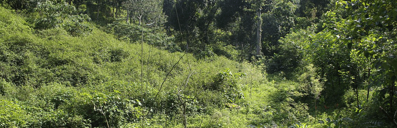
Species that have been introduced by people to regions outside their natural distribution are known as alien or exotic species. A small proportion of such introduced species can become invasive—becoming widespread and dominant, with detrimental effects on native biodiversity, food security, ecosystem services and human health and wellbeing. Globally, invasive alien species are now recognized as being a significant conservation concern. In India, we still lack systematic documentation and mapping of invasive species distributions that could enable prioritizing species (or habitats) to manage, and could provide a baseline against which to assess future invasive species spread.
Scientists working in partnership with naturalists, students, community members, and forest managers can achieve the task of mapping invasive species at a scale, and within a timeframe, that would be meaningful—something that scientists on their own could not do. And over the last decade the availability of smart phones, plus access to the internet, has made it easier for people to record and share observation, leading to a growing number of such researcher-citizen scientist collaborations.
We have used Google’s Open Data Kit and its android application, ODK Collect, to build offline forms that can be accessed android mobile phones. The forms are being used to collect information on invasive species—their location, spatial pattern, and abundance, to create a pilot invasive species atlas for the Moyar-Bhavani landscape in the Nilgiri Biosphere Reserve, and in the Anamalais of Tamil Nadu, in India’s Western Ghats biodiversity hotspot.
